|
| *****SWAAG_ID***** | 383 |
| Date Entered | 04/12/2011 |
| Updated on | 04/12/2011 |
| Recorded by | Tim Laurie |
| Category | Tree Site Record |
| Record Type | Botanical HER |
| Site Access | Public Access Land |
| Record Date | 09/05/2011 |
| Location | Swinner Gill, Lower Cliffs West Side |
| Civil Parish | Muker |
| Brit. National Grid | NY 9102 0087 |
| Altitude | 400m |
| Record Name | MUK158 Swinner Gill, Lower Cliffs West Side. Limestone ashwood with aspen and yew. |
| Record Description | See photographs.
Woodland vegetation not yet recorded.
(NY 9102 0087 centre) |
| Dimensions | See photographs. |
| Geographical area | Upper Swaledale |
| Species | Aspen with yew |
| Common / Notable Species | Wych elm, ash etc |
| Image 1 ID | 1578 Click image to enlarge |
| Image 1 Description | View towards through Swaledale towards Swinner Gill from Arndale Scar. | 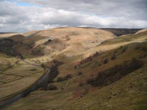 |
| Image 2 ID | 1579 Click image to enlarge |
| Image 2 Description | Aspen clones on cliff, with yew, hawthorn, ash etc on western side of Swinner Gill | 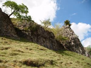 |
| Image 3 ID | 1580 Click image to enlarge |
| Image 3 Description | Aspen clones on cliff, detail. | 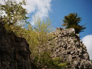 |
| Image 4 ID | 1581 Click image to enlarge |
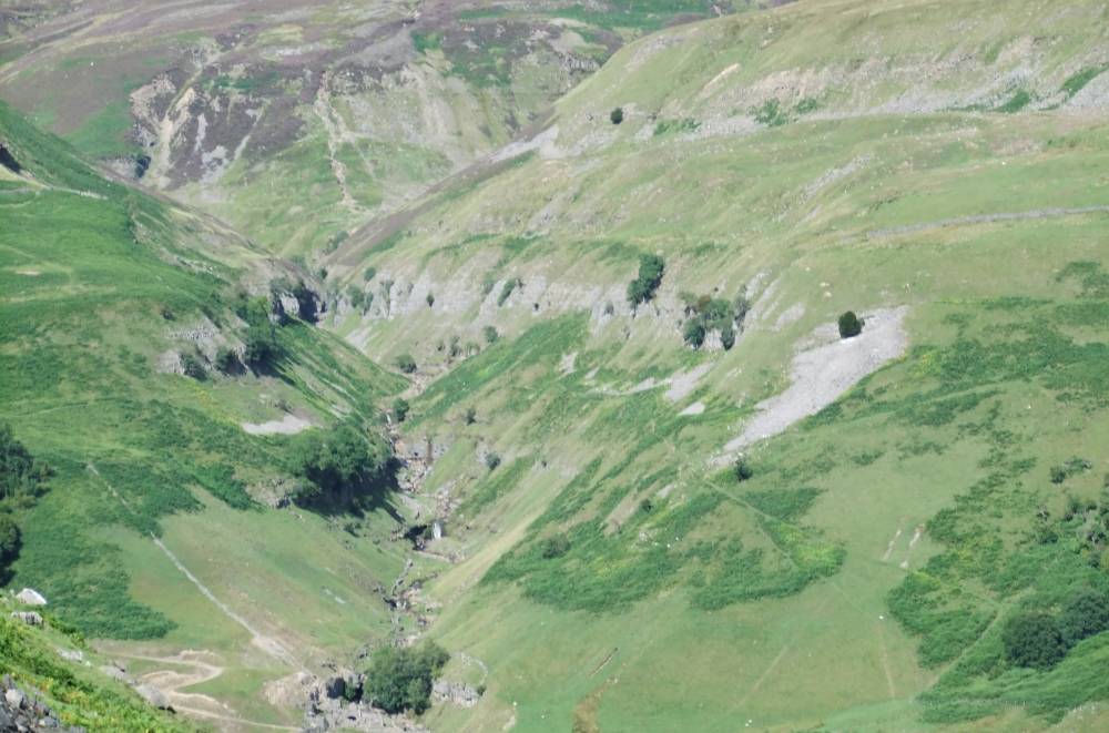
| Image 4 Description | The lower cliffs of Swinner Gill seen from Kisdon. | 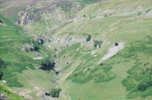 |